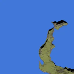
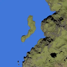
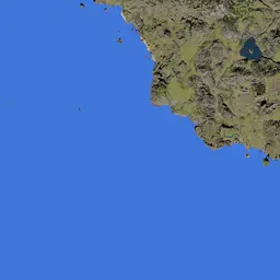

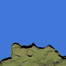
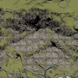
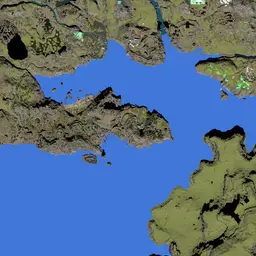
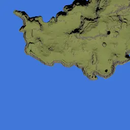
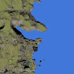
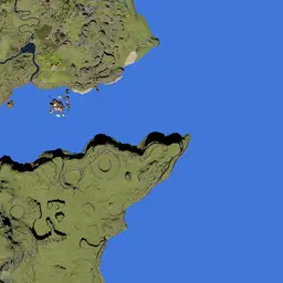
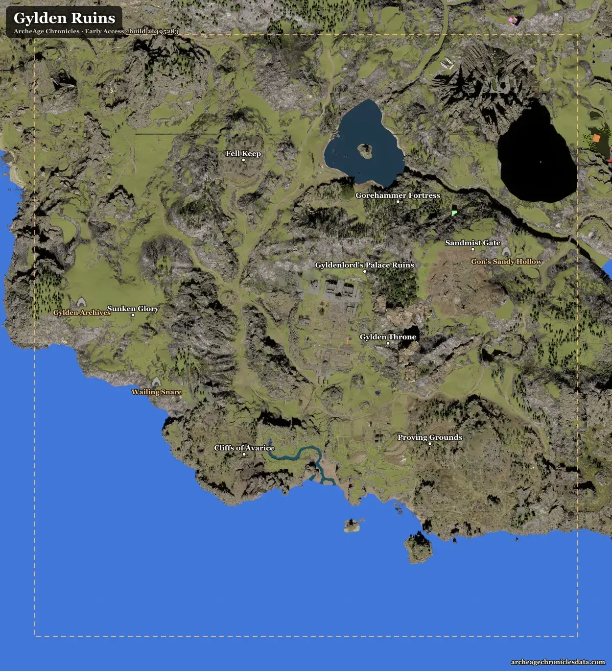
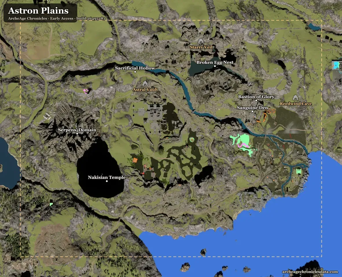
The world map of ArcheAge Chronicles from the game's own map picture, with the 3 Early Access regions (Diamond Shores, Gylden Ruins, Astron Plains), 112 villages and places, 15 dungeons and raids and 71 housing plots — tick what you have done and plan a route through the rest.
From the game files: Early Access · build 26495283
The Early Access regions
Still pictures of each region with its places, dungeons and housing plots — open one full size to save or share it.
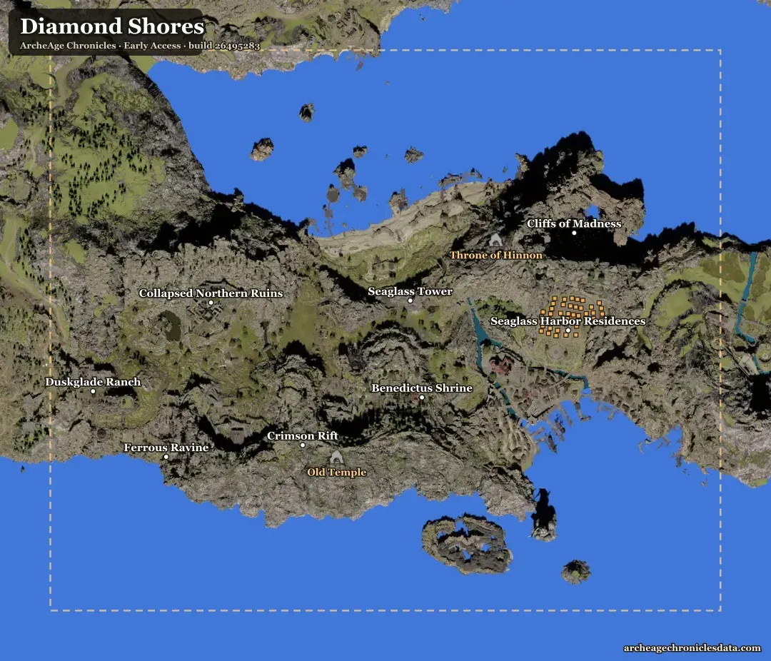
Dungeons and raids on the map
- Old Temple dungeon · Diamond Shores
- Throne of Hinnon dungeon · Diamond Shores
- Abandoned Ruins dungeon · Diamond Shores
- Wailing Snare dungeon · Gylden Ruins
- Gylden Archives dungeon · Gylden Ruins
- Gon's Sandy Hollow dungeon · Gylden Ruins
- Astral Vault dungeon · Astron Plains
- Starry Veil dungeon · Astron Plains
- Reedwind Cave dungeon · Astron Plains
- Royal Tomb dungeon · Heartland · not in Early Access yet
- Amethyst Grotto dungeon · Heartland · not in Early Access yet
- Vatic Shores Dungeon 1 dungeon · Vatic Shores · not in Early Access yet
- Vatic Shores Dungeon 2 dungeon · Vatic Shores · not in Early Access yet
- Crimson Rift raid · Diamond Shores
- Gylden Throne raid · Gylden Ruins
- Nakisian Temple raid · Astron Plains
Housing plots on the map
Seaglass Harbor Residences: 41 plots · Centrium Village Residence: 30 plots (not in Early Access yet). Sizes, rent and buildings →
Map questions
Where does the map come from?
From the game's own world-map picture, read from the game files (Early Access · build 26495283), cut into tiles. The markers are placed with the same scale the game uses for its map: one pixel at full zoom is 2.99 m.
Why are merchants, monsters and Nui statues not on the map?
The game files hold their regions but not their spots: the game's server places them. The map shows what the files do place — region and place boxes, dungeons and every housing plot — and each NPC or monster page names its region.
How do ticks and the route work?
Click a marker and “Tick as done”: ticks stay in this browser. The Route tab orders the markers of a layer you haven't ticked, from the map's centre or a start you pick. Nearest neighbour, then 2-opt: from the start, go to the closest stop left; then keep reversing stretches of the path while that makes it shorter. Straight lines on the map — terrain, cliffs, gliding and portals are ignored — so the length shows how the stops line up, not how long the trip takes. Up to 400 stops.